I took this out-and-back hike in August 2022. It was a 9.3 mile hike one way. You start in relatively populated national forest land and then as you rise through the mountains, reach the Wilderness area. The trail climbs through Bear Basin, switch backing up the bowl of the basin to the first pass, which is stunning. The descent down the pass is rough with lots of steep gravel. The trail splits and you take the high trail to the east, over the next pass to Summit Lake, which is nestled between two mountains, then over the lass tiny pass and down into the last, big basin. Hike along the meadow until you reach Thompson Lake at the foot of Gallatin peak. You can summit the peak, but I didn't. I surely didn't see a reasonable trail up it!


Looking into Bear Basin

Wildflowers

Looking down into Bear Basin from the pass

Summit Lake

Towards Thompson Lake

Thompson Lake

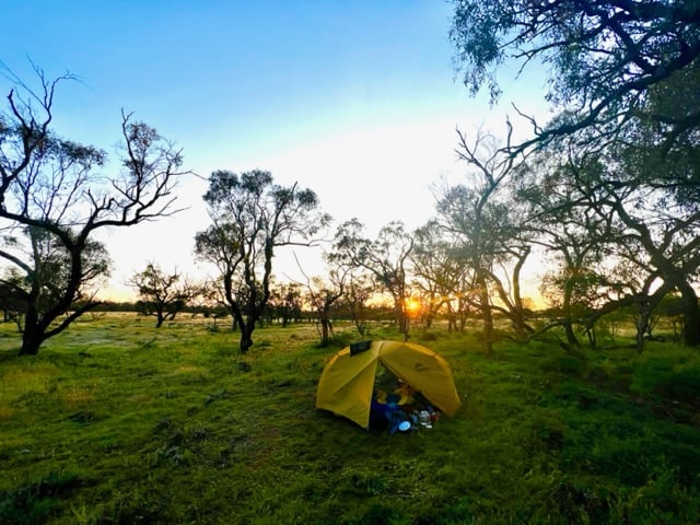
Sunrise at Thompson Lake


 Krn lake
 View from mount Krn
 Clouds forming on mountain ridge due to warm costal air hitting the mountains and rising over the top
 Remenants of WW1 trenches over 2000m (6500 ft) above sea level
 Look back on Krn mountain range
 Tolminski kuk
 View on a mountain range i also visited last year but only for 2 days
 River Soča and the end of my hike
 (Palisades creek is super fast this year!)
 (Upper Palisades Lake is beautiful)
 (The main waterfall)
 (The other waterfall)
 (Lake we camped by)
